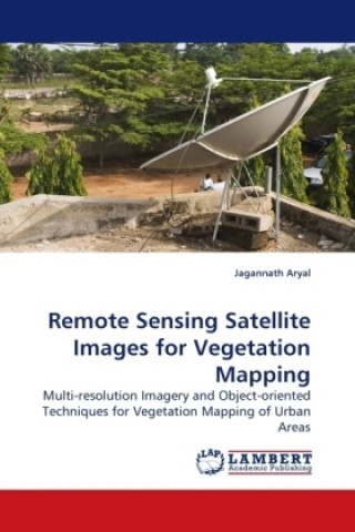
Carte Remote Sensing Satellite Images for Vegetation Mapping Jagannath Aryal

Remote Sensing Satellite Images for Vegetation Mapping

Multi-resolution Imagery and Object-oriented Techniques for Vegetation Mapping of Urban Areas

Limbă: engleză
Legare: Carte broșată
Disponibilitate: În depozitul extern
Expediem în 5-8 zile
325.70 lei
During the last 50 years the remote sensing arena has been dramatically improved. At present, it is...
Informații despre carte

Limbă
engleză
Legare
Carte - Carte broșată
Publicat
2009
Pagini
164
EAN
9783838325453
Enbook ID
06861670
Greutate
262
Dimensiuni
150 x 220 x 10

Descriere completă

During the last 50 years the remote sensing arena has been dramatically improved. At present, it is possible to have remote sensing imagery of less than a metre, which helps to improve our understanding of the interaction of various phenomena. This book assists to understand the use of very high resolution imagery to extract the ecological entities in urban areas. The importance of such ecological entities - vegetation communities - to human being is characterized using the IKONOS multi- spectral and panchromatic imagery. A case study of a city in New Zealand prevailed that remote sensing images are useful data sources to extract the vegetation communities in an urban area.
S-ar putea să te intereseze

Salvador

Tc Newell
34.86 lei
153.38 lei

Blood of the Vampire

FLORENCE MARRYAT
93.21 lei

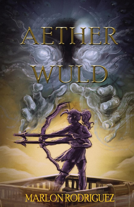
Aether Wuld

Marlon Rodriguez
69.43 lei
168.29 lei

Bringers of Order

James N. Gilmore
187.84 lei
158.62 lei

Where the Germs are

Nicholas Bakalar
144.61 lei
432.73 lei

Warfighting

F. Lee Bailey
92.30 lei
81.22 lei

Clienții care au cumpărat această carte au mai cumpărat și

182.20 lei

Ladrona

James Orthon
60.05 lei

Uber die Hoffnung

Luise Rinser
67.11 lei

Křižovatky

Jack Ketchum
30.63 lei

Gymnasium

Susanne Giebeler
73.05 lei

Morgenroete

Friedrich Nietzsche
144.00 lei

Die Waldschule

Fritz Baumgarten
47.46 lei