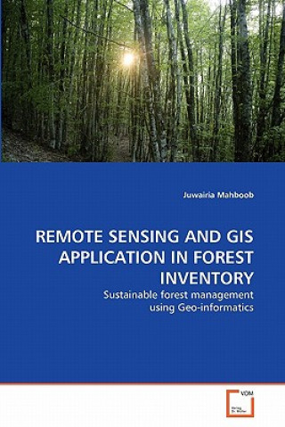
Carte Remote Sensing and GIS Application in Forest Inventory Juwairia Mahboob

Remote Sensing and GIS Application in Forest Inventory

Limbă: germană
Legare: Carte broșată
Editura: VDM Verlag
Disponibilitate: La editor doar la comandă
Expediem în 17-27 zile
253.91 lei
Forest inventories have traditionally been used for acquiring quantitative and qualitative informati...


Informații despre carte

Limbă
germană
Legare
Carte - Carte broșată
Publicat
2011
Pagini
112
EAN
9783639328592
ISBN
3639328590
Enbook ID
06839589
Editura
Greutate
177
Dimensiuni
229 x 152 x 7

Descriere completă

Forest inventories have traditionally been used for acquiring quantitative and qualitative information of forests. With the advent of technology, remote sensing has been found to provide an alternative for forest mapping and monitoring in less time and low cost. This research involves the study of forest crown closure, type of tree species and their spatial distribution in Ayubia National Park with SPOT 5 (2.5m spatial resolution) & ALI (30m spatial resolution) imageries based on the collaboration of Geographic Information System and Remote Sensing. In this study the optical properties of tree species were used to classify the study area into different vegetation categories. Being different and unique for each species, optical properties were used as a source of species identification. Species classification was performed using various supervised classification methods, both on high spectral (ALI) and spatial (SPOT) resolution multispectral space borne imageries.

S-ar putea să te intereseze

Havoc

Circus Maximus
117.17 lei

Philipp Melanchthon

Willibald Beyschlag
96.40 lei

Juli

Gabriele Auth
63.02 lei

Clienții care au cumpărat această carte au mai cumpărat și

420.20 lei

Silenced

Bonnie Reilly Schmidt
122.41 lei
345.68 lei

Algoritmos

Andy Vickler
204.10 lei
16.83 lei
44.77 lei
1 746.39 lei
358.69 lei
657.29 lei

Bookless in Baghdad

Shashi Tharoor
65.94 lei

Escape

William Wells Brown
118.48 lei
144.10 lei