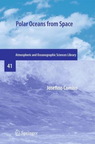
Carte Polar Oceans from Space Josefino Comiso

Polar Oceans from Space

Limbă: engleză
Legare: Carte broșată
Disponibilitate: În depozitul extern
Expediem în 8-11 zile
826.44 lei
Only a few centuries ago, we knew very little about our planet Earth. The Earth was considered flat...


Informații despre carte

Limbă
engleză
Legare
Carte - Carte broșată
Publicat
2016
Pagini
507
EAN
9781493938872
Enbook ID
18344498
Greutate
1067
Dimensiuni
157 x 19 x 21

Descriere completă

Only a few centuries ago, we knew very little about our planet Earth. The Earth was considered flat by many although it was postulated by a few like Aristotle that it is spherical based on observations that included the study of lunar eclipses. Much later, Christopher Columbus successfully sailed to the West to discover the New World and Ferdinand Magellan's ship circumnavigated the globe to prove once and for all that the Earth is indeed a sphere. Worldwide navigation and explorations that followed made it clear that the Earth is huge and rather impossible to study solely by foot or by water. The advent of air travel made it a lot easier to do exploratory studies and enabled the mapping of the boundaries of continents and the oceans. But aircraft coverage was limited and it was not until the satellite era that full c- erage of the Earth's surface became available. Many of the early satellites were research satellites and that meant in part the development of engineering measurement systems with no definite applications in mind. The Nimbus-5 Electrically Scanning Microwave Radiometer (ESMR) was a classic case in point. The sensor was built with the idea that it may be useful for meteorological research and especially rainfall studies over the oceans, but success in this area of study was very limited.

S-ar putea să te intereseze

124.88 lei
100.99 lei
33.15 lei

Fibre Metal Laminates

Jan Willem Gunnink
1 541.11 lei
209.05 lei
92.32 lei

Clienții care au cumpărat această carte au mai cumpărat și

Dubbelspel

Wilna Adriaanse
100.29 lei