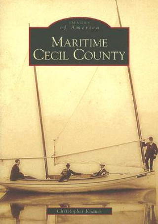
Maritime Cecil County
Autor:
Christopher Knauss

Disponibilitate:
În depozitul extern în cantități mici
Expediem în 11-15 zile
105.80
lei
Virgin forests dominated the landscape when white settlers first explored the land now known as Ceci...