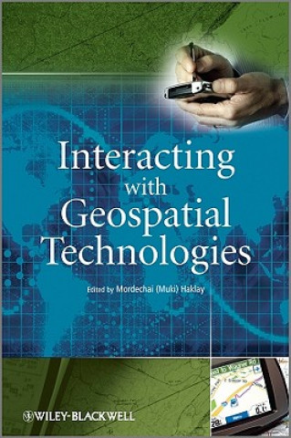
Interacting with Geospatial Technologies
Autor:
Muki Haklay

Disponibilitate:
În depozitul extern
Expediem în 9-15 zile
755.21
lei
This book provides an introduction to HCI and usability aspects of Geographical Information Systems...